Maps of Randolph County
Milford, Brock's Gap, Moorefield, New Creek, etc.
Hotchkiss, Jed.
Central Virginia 1864-1865.
1 : 650000 United States. War Department
Charlottesville
1 : 250000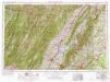
Charlottesville
1 : 250000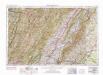
Charlottesville
1 : 250000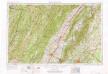
Charlottesville
1 : 250000
Charlottesville
1 : 250000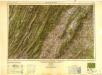
Charlottesville
1 : 250000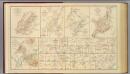
Winchester, Cedar Run, Port Republic, Va.
Hotchkiss, Jed.
(Seat of the Civil War - Virginia).
1 : 412000 Schonberg & Co.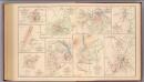
Hanging Rock; Monocacy.
Hotchkiss, Jed.
Map of the Shenandoah & Upper Potomac including portions of Virginia and Maryland
1 : 253440 Meigs, John Rodgers United States. Army. Office of the Chief of Engineers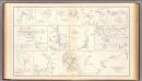
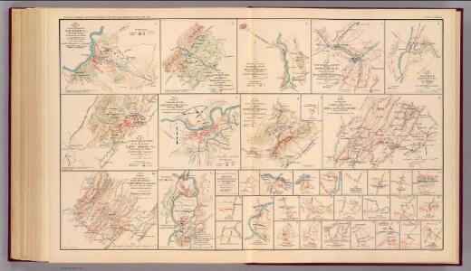
Hanover, Hanover C.H., New Bridge, Mechanicsville, New Market, Malvern Hill, Cross Keys.
United States. War Department
Proposed Shenandoah National Park, Virginia / engraved and printed by the U.S. Geological Survey
1 : 125000 Annotatie geografische gegevens: Opname: 1884-1891 United States Geological Survey [Washington, D.C. : U.S. Geological Survey]
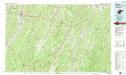
Randolph, Pendleton counties.
1 : 251000 White, M. Wood
Balloon View of the Battle-ground between Washington, Manassas Junctn. & Fredericksburg.
Balloon View of the Battle-ground between Washington, Manassas Junction & Fredericksburg. This map principally shows the area around the western side of the Potomac River, a region that saw heavy fighting during the war. At the top of the map is Fredericksburg, site of a battle in December 1862, while in the middle of the map, Manassas Junction appears. This was the site of the Battles of Bull Run, the first in July 1861 and the second in August 1862. The Confederate Army named battles after the nearest town, hence calling it the Battle of Manassas. The Union Army named battles after physical features and the map shows the Bull Run River passing close to Manassas Junction. L. Prang & Co.
Staunton
1 : 100000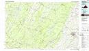
Staunton
1 : 100000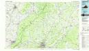
Charlottesville
1 : 100000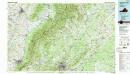
Charlottesville
1 : 100000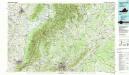
Charlottesville
1 : 100000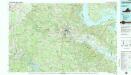
Fredericksburg
1 : 100000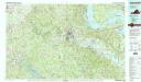
Fredericksburg
1 : 100000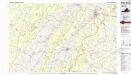
Front Royal
1 : 100000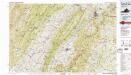
Front Royal
1 : 100000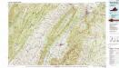
Front Royal
1 : 100000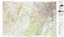
Washington West
1 : 100000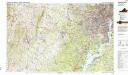
Washington West
1 : 100000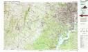
Washington West
1 : 100000