Maps of Columbia Mountains
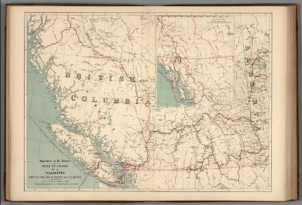
No.13, Telegraphs : British Columbia, Yukon and Alberta
1 : 2217600 Canada. Department of Interior
British Columbia.
1 : 2500000 John Bartholomew and Son
Shell British Columbia - Alberta.
1 : 2471040 Shell Oil Company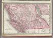
British Columbia.
1 : 2400000 Rand McNally and Company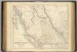
British North America. Sheet III. Pacific Coast.
1 : 2407680 Fullarton, A. & Co.
British Columbia. Historical Maps.
1 : 3787000 Hammond, C.S.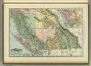
British Columbia.
1 : 2400000 Rand McNally and Company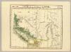
Partie, Nouvelle Hanovre. Amer. Sep. 31.
1 : 1641836 Vandermaelen, Philippe, 1795-1869
Rand McNally Official 1925 Auto Trails Map British Colombia.
1 : 1077120 Rand McNally and Company
Map Of The Grand Trunk Pacific Railway In British Columbia.
1 : 1250000 Grand Trunk Pacific Railway
Origin of the population 1911: British Columbia and Alberta
1 : 2217600 Chalifour, J.E.
Alberta.
1 : 2438000 Hammond, C.S.
Cote NO, l'Amerique 3.
1 : 1500000 Vancouver, George, 1757-1798
The Coast of N.W. America.
1 : 1030000 Vancouver, George, 1757-1798
Map of the Gold Regions of the Frazer River and the Washington Territory on the Western Coast of America. By J. Wyld
Map of the Gold Regions of the Frazer River and the Washington Territory on the Western Coast of America. By J. Wyld. London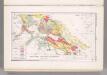
Southern Vancouver Island, British Columbia, Canada. Coal Resources of the World.
1 : 380160 McInnes, William; Leach, W.W.; Dowling, D.B.
Topographic map of Glacier National Park, Montana / R.B. Marshall, chief geographer ; Sledge Tatum. geographer in charge ; topography by H.L. Baldwin ; engraved and printed by the U.S. Geological Survey
1 : 125000 Annotatie geografische gegevens: Opname: 1900-1904 en 1907-1912 Marshall, R. B.; Tatum, Sledge; Baldwin, H. L. (jr.); United States Geological Survey [Washington, D.C. : U.S. Geological Survey]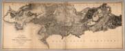
Sheet No. 7. (Title Sheet) Photo-Lithographic Copy Of The Detailed Maps Of The North West Boundary.
1 : 60000 Campbell, Archibald
Facsimile: Observatory Inlet - Admiralty Survey.
1 : 223000 British Admiralty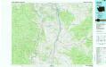
Oroville
1 : 100000
Republic
1 : 100000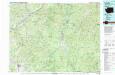
Colville
1 : 100000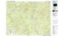
Colville
1 : 100000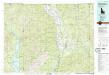
Bonners Ferry
1 : 100000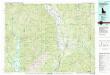
Bonners Ferry
1 : 100000
Roche Harbor
1 : 100000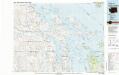
Roche Harbor
1 : 100000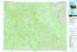
Whitefish Range
1 : 100000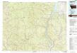
Yaak River
1 : 100000