Maps of Asia
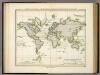
World.
1 : 60000000 Gray, Frank Arnold
Isothermal, winds; Religions Europe.
Andree, Richard; Times (London, England)
Isothermen- u. Windkarte; Religionskarte v. Europa.
Andree, Richard
World - climate.
1 : 260000000 John Bartholomew and Son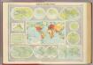
Mapping of the world.
1 : 120000000 John Bartholomew and Son
General chart, Mercator proj.
1 : 168000000 Seaman, James V.
World Mercator's projection.
1 : 112000000 Arrowsmith, Aaron; Lewis, Samuel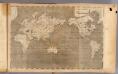
World Mercator's projection.
1 : 112000000 Arrowsmith, Aaron; Lewis, Samuel
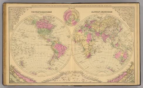
World, Mercator's projection.
1 : 82000000 Hall, S. (Sidney)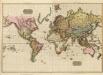
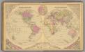
The World on Mercator's projection.
1 : 40000000 Pinkerton, John, 1758-1826
The World on Mercator's Projection.
1 : 135000000 Melish, John
World - political.
1 : 82000000 John Bartholomew and Son
Terre, Mercator proj.
1 : 70000000 Andriveau-Goujon, J.
Planiglob zur Ubersicht der verschiedenen Bekleidung's Weise der Bewohner des ganzen Erdbodens.
1 : 140000000 Berghaus, Heinrich
Mean Annual Temperature of the Earth's Surface.
1 : 110000000 Hughes, William
World On Mercator's Projection.
1 : 150000000 Finley, Anthony
Plain map (World)
1 : 100000000 Wauthier, J. M.
Mappemonde.
1 : 50000000 La Perouse, Jean-Francois de Galaup, comte de, 1741-1788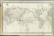
Mappemonde.
1 : 50000000 La Perouse, Jean-Francois de Galaup, comte de, 1741-1788
Verschiedenes zur Anthropographie.
1 : 200000000 Berghaus, Heinrich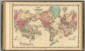
Map Of The World on Mercator's Projection.
1 : 75000000 Johnson, A.J.
Hyetographic; rain map.
1 : 71500000 Johnston, Alexander Keith, 1804-1871
Planiglob Zur Ubersicht der Geographischen Verbreitung Der Vornehmsten Krankheiten.
1 : 140000000 Berghaus, Heinrich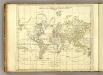
World.
1 : 94000000 Jefferys, Thomas
World (blank)
1 : 94000000 Jefferys, Thomas
Kaart van de eilanden beoosten Java [and] Overzigtskaart voor de ligging van den Oost Indischen Archipel, met betrekking tot Australië en tot de naaste kusten van Afrika, Azië en Amerika
Grav. en druk v. T. Hooiberg te Leiden te s'Hage : uitgave van K. Fuhri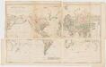
Chart of the world on Mercators projection : exhibiting all the new discoveries to the present time, with the tracks of the most distinguished navigators since the year 1700 carefully collected from the best charts, maps, voyages, &c. extant and regulated from the accurate astronomical observations made in three voyages performed under the command of Captn. James Cook in the years 1768, 69, 70, 71, 72, 73, 74, 75, 76, 77, 78, 79 & 80
1 : 20000000 Arrowsmith, Aaron, 1750-1823 A. Arrowsmith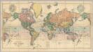
Map Of The World.
1 : 20000000 Stanford, Edward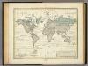
Alexander von Humboldt's System Der Isotherm-Kurven.
1 : 110000000 Humboldt, Alexander von, 1769-1859
Geographische Verbreitung und Vertheilung der Raubthiere, Carnivora.
1 : 115000000 Berghaus, Heinrich