Maps of United States
Road map United States.
1 : 7500000 Rand McNally and Company
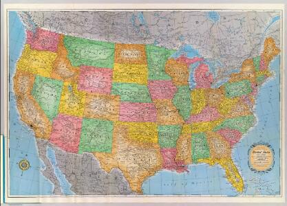
United States.
1 : 5000000 Rand McNally and Company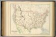
United States.
1 : 9504000 Fullarton, A. & Co.
Hammond's comprehensive map of the United States with portions of Canada and Mexico
1 : 5000000 C.S. Hammond & Company C.S. Hammond & Company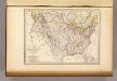
Etats-Unis d'Amerique, 1835.
1 : 16200000 Malte-Brun, Conrad, 1775-1826
[Neuer Atlas der ganzen Erde nach den neuesten Bestimmungen ... : XXIV.] Charte von dem Nordamericanischen Staatenbunde
Entworfen und gezeichnet von F.W. Streit H. Leutemann sc. Leipzig : J.C. Hinrichs'sche Buchhandlung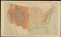
United States relief map
1 : 7000000 Geological Survey (U.S.) Geological Survey (U.S.)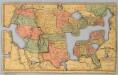
Map of the United States and Canada.
1 : 11404800 Merriam, Moore & Co.
Vereinigte Staaten von Nord-America
1 : 13000000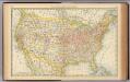
United States.
1 : 10560000 Rand McNally and Company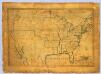
United States.
1 : 7700000 Symonds, Maria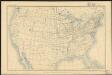
United States
1 : 11875000 Geological Survey (U.S.) Geological Survey (U.S.)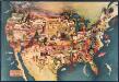
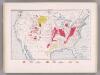
Paul Sample's America: Its Soil
This bird's-eye-view map shows scenes of land use and farming superimposed on a map of the United States. Agricultural scenes of farming, livestock, and crops are depicted. Sample, Paul Associatedd American Artists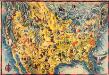
The Covarrubias America: a decorative map of the United States of America
This pictorial bird's-eye-view map shows the United States of America with parts of Canada and Mexico. Landscape, trade, industry, points of interest, people, and animals are depicted. Covarrubias, Miguel Edward Stern & Co.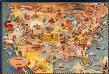
Bohrod's America, its history
This map shows scenes from America's history with names of historical events superimposed on a map of the United States. Bohrod, Aaron Associated American Artists
Vereinigte Staaten von Nord-America
Hand-Atlas über alle Theile der Erde nach dem neuesten Zustande und über das Weltgebäude Stieler, Adolf bei Justus Perthes
New railroad map of the United States, and Dominion of Canada.
1 : 7000000 Warner & Beers
United States
1 : 2500000 Geological Survey (U.S.) Geological Survey (U.S.)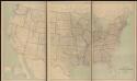
United States
1 : 2500000 Geological Survey (U.S.) Geological Survey (U.S.)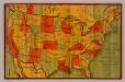
Norris' Cyclopaedic Map Of The United States Of America.
1 : 9504000 Norris, W.R.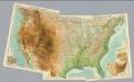
Composite: United States.
1 : 5000000 John Bartholomew & Co.
United States.
1 : 21000000 Grigg, John
Vereinigte Staaten
1 : 10000000 Nové Skotsko Elfert, Paul Geogr. anstalt von Wagner & Debes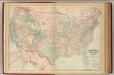
United States, territories.
1 : 8000000 Asher & Adams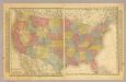
United States.
1 : 10000000 Schlitz Brewing Company
Vereinigte Staaten von Nord-America
Stieler's Hand-Atlas Stieler, Adolf bei Justus Perthes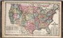
United States.
1 : 8750000 Mitchell, Samuel Augustus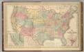
United States.
1 : 8750000 Mitchell, Samuel Augustus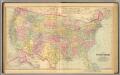
United States.
1 : 7603200 O.W. Gray & Son