Maps of Kanawha County

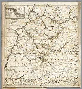
Kentucky.
1 : 633600 Morse, Jedidiah
A map of Kentucky, drawn from actual observations by John Filson.
from The American geography; or, A view of the present situation of the United States of America: containing astronomical geography; geographical definitions, discovery, and general description ... By Jedidiah Morse, A.M.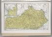
Kentucky.
1 : 1183000 Hammond, C.S.
A map of Virginia : formed from actual surveys and the latest as well as the most accurate observations / by James Madison ; drawn by Wm. Davis ; with extensive additions and corrections to the year 1818.
from Charts and maps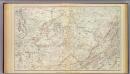
Gen. map VI.
1 : 633600 United States. War Department
Johnson City
1 : 250000
Johnson City
1 : 250000
Corbin
1 : 250000
Johnson City
1 : 250000
Corbin
1 : 250000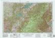
Corbin
1 : 250000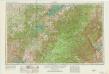
Corbin
1 : 250000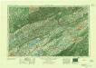
Johnson City
1 : 250000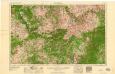
Winchester
1 : 250000
Jenkins
1 : 250000
Winchester
1 : 250000
Winchester
1 : 250000
Winchester
1 : 250000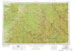
Jenkins
1 : 250000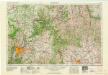
Louisville
1 : 250000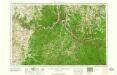
Huntington
1 : 250000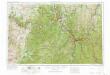
Huntington
1 : 250000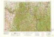
Huntington
1 : 250000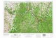
Huntington
1 : 250000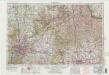
Louisville
1 : 250000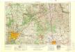
Louisville
1 : 250000
Cabell, Wayne, Lincoln, Logan counties.
1 : 297000 White, M. Wood
OKI regional land use : 1975
1 : 5000 Ohio-Kentucky-Indiana Regional Planning Authority OKI Regional Planning Authority
Gallia, Jackson, Lawrence, Meigs, and Vinton counties.
1 : 300000 Walling, H. F.