Maps of Ontario
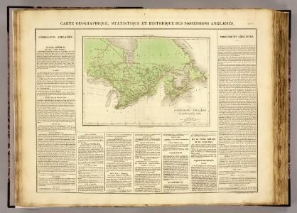
Possessions anglaises.
1 : 4700000 Buchon, J. A. C.; Carey, H. C.; Lea, I.
Canada.
1 : 11088000 Lucas, Fielding Jr.
Map Of Upper And Lower Canada.
1 : 2217600 Lea, I.
British America.
1 : 10200000 Grigg, John
Geology. East sheet
1 : 6336000
British Provinces of North America.
1 : 10000000 Cornell, S. S. (Sarah S.)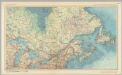
Canada - Ontario, Quebec, and Maritime Provinces. Pergamon World Atlas.
1 : 5000000 Polish Army Topography Service
188-189. Canada, East. The World Atlas.
1 : 5000000 USSR (Union of Soviet Socialist Republics).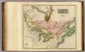
Canada, Nova Scotia.
1 : 4800000 Thomson, John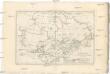
Canada
1 : 10120000 Kanada Bonne, Rigobert André
Canada, N.B., N.S.
1 : 5100000 Hall, S. (Sidney)
(Vereinigte Staate)n v. Nordamerika II.
1 : 8000000 Berghaus, Heinrich; Flemming, Carl; Sohr, Karl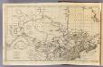
Canada, N. pt. Louisiana.
1 : 7700000 Jefferys, Thomas
A map of the northern and middle states

Canada.
1 : 8870400 Finley, Anthony
Map of the Northern and Middle States.
1 : 6950000 Morse, Jedidiah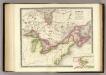
Canada, New Brusnwick, and Nova Scotia.
1 : 6600000 Teesdale, Henry
Map of the Northern and Middle States.
1 : 6900000 Morse, Jedidiah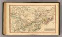
Canada.
1 : 11000000 Fenner, Rest.
British Provinces in Canada.
1 : 7247550 Fisher, Richard Swainson
Canada.
1 : 9000000 Tanner, Henry S.
Canada.
1 : 9000000 Finley, Anthony
A General Map of the Northern British Colonies in America.
1 : 3700000 Robert Sayer and John Bennett (Firm)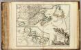
Nouvelle France ou le Canada.
1 : 4000000 Robert de Vaugondy, Gilles, 1688-1766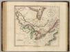
Upper & Lower Canada.
1 : 4700000 Cary, John, ca. 1754-1835
A new map of Upper & Lower Canada / from the latest authorities by John Cary, engraver.
from Canada John Cary,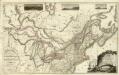
Composite: Upper, Lower Canada; United States &c.
1 : 2300000 Faden, William, 1750?-1836
A New and correct map of the British colonies in North America comprehending eastern Canada with the province of Quebec, New Brunswick, Nova Scotia, and the Government of Newfoundland: with the adjacent states of New England, Vermont, New York, Pennsylvania and New Jersey.
from Charts and maps Publish'd by Laurie & Whittle, 53 Fleet Street: London; Robert Laurie and James Whittle,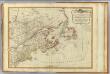
British colonies North America, New England.
1 : 3800000 Robert Laurie & James Whittle