Maps of Libyan Desert

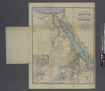
Carta dell' Egitto, Sudan, Mar Rosso, Assab, Massaua, Abissinia ecc.
from Parts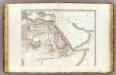
L'Afrique 2.
1 : 10000000 Brue, Adrien Hubert, 1786-1832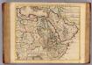
Egypte, Nubie, Abissinie &c.
1 : 9200000 L'Isle, Guillaume de, 1675-1726
Carte de l'Egypte de la Nubie de l'Abissinie
1 : 9100000 Afrika severní Delisle, Guillaume Desrosiers, F. Guillame del'Isle
Italie Abyssinie / W. Seghers
1 : 9333300 Annotatie: Met foto's van Mussolini en Hailé Selassie I, en met vlaggen en wapens van Italië en Abessinië; Annotatie geografische gegevens: Geeft de toestand weer voor de inval van Italië in Abessinië in 1935 Seghers, W. Antwerpen : Patria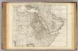
Egypte, Nubie, Abissinie &c.
1 : 9200000 L'Isle, Guillaume de, 1675-1726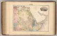
Afrique (Partie Nord-Est).
1 : 14400000 Migeon, J.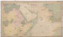
Africa orientale e la colonia italiana d'Assab
1 : 1455000 Eritrea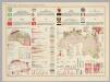
Mauritania, Morocco, Algeria, Tunisia, Libya, United Arab Republic, Chad, Sudan. Pergamon World Atlas.
Polish Army Topography Service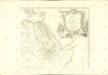

Africa NE.
1 : 10000000 Andree, Richard; Times (London, England)
Das Nordöstliche Africa
1 : 8000000 Afrika severovýchodní Lejean, Guillaume Marie Gräf, Adolph Geographisches Institut
Das Nordöstliche Africa
1 : 8000000 Afrika severovýchodní Lejean, Guillaume Marie Gräf, Adolph Geographisches Institut
Der Kriegsschauplatz im aegyptischen Sudan, 1883 & 1884
Hassenstein, Bruno Perthes
Afrique du N.E.
1 : 10000000 Vivien St Martin, L.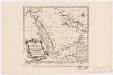
Carte de la coste d'Arabie, Mer Rouge et Golfe de Perse : tirée de la Carte de l'Océan Oriental publiée en 1740 par Ordre de Mgr le Comte de Maurepas augmentée sur des remarques particulières et dressée sur des observations astronomiques = Kaart van de Kust van Arabië, de Roode-Zee en de Gulf van Persië Gemaakt na de Fransse-Kaart van den Ooster-Ocean uitgegeven A. 1740 op Bevel van den Hre Grave de Maurepas Vermeederd op byzondere Aanmerkingen, en geschikt volgens Sterrekundige-Waarnemi
1 : 14000000 Schley, Jacobus van der, 1715-1779 Pierre de Hondt
North Eastern Africa.
1 : 15000000 Colton, G.W.
North Eastern Africa.
1 : 15000000 Colton, G.W.
North Eastern Africa.
1 : 15000000 Colton, G.W.
North Eastern Africa.
1 : 15000000 Colton, G.W.
North Eastern Africa.
1 : 15000000 Colton, G.W.
Afrique Orientale.
1 : 8000000 Garnier, F. A., 1803-1863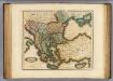
Turkey in Europe.
1 : 4000000 Lizars, Daniel
Turcicum imperium
1 : 11200000 Amstelodami : apud F. de Wit
Africa North Eastern Sheet.
1 : 14256000 Colton, G.W.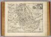
Nubia & Abissinia.
1 : 9400000 Bowen, Emanuel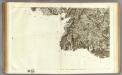
140 Saint-Jean-Pied-de-Port.
1 : 86400 Cassini family; Cassini, Cesar-Francois, 1714-1784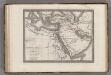
Middle East.
1 : 1620000 Monin, C.V.
Geographie des Hebreux.
1 : 16800000 Malte-Brun, Conrad, 1775-1826