Maps of Böhmerwald
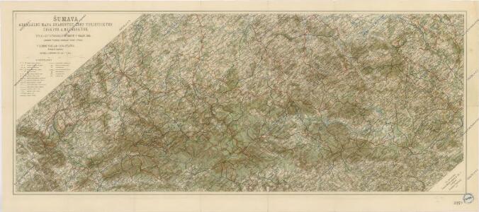
Šumava generální mapa značených cest turistických
Reisehandbuch für das Königreich Böhmen
Církevní mapa biskupství Budějovického
Šumava

[Čechy]
1 : 390000 Čechy (Česko)
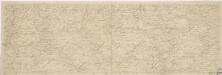
Südlicher Theil von Boehmen...

G. Freytag & Berndt Touristenwanderkarte des Böhmerwaldes und Bayrischen Waldes
1 : 200000 Bavorský les (Německo : pohoří) Bundesleitung des deutschen Böhmerwaldbundes
Generální mapa Protektorátu Čechy a Morava

Mappa Electoratus et Ducatus Bavariae Superioris et Inferioris, Ducatus Neoburgesis cum Episcopatibus Frisingensi Ratisbonensi Passaviensi et Praepositura Bergtolsgadensi.
1 : 260000 Mollova mapová sbírka Apian, Philipp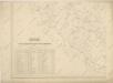
Hydrografische Uibersichtskarte der Flüsse, Bäche und sonstigen Gewässer im Königreiche Boehmen

Das Herzogthum Ober und Nieder Baiern, 2
1 Karte : 43 x 55 cm Lotter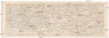
Šumava
1 : 288000 Šumava-oblast Kohut, Josef Líčka, Josef nákladem Františka Řivnáče
Jihozápadní Čechy
1 : 220000 Šumava-oblast Wagner, Jan Eduard F. Kytka
Jihozápadní Čechy
1 : 220000 Šumava-oblast Wagner, Jan Eduard F. Kytka
Jihozápadní Čechy
Karte des Bayrischen und des Böhmer-Waldes
1 : 250000 Bavorský les (Německo) Waltenberger, Anton Dressel, H. Waldverein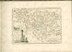
Schutzvereins-Ortsgruppen des Böhmerwaldes und Deutsch-Südböhmens
1 : 200000 Čechy jižní (Česko)
Deutsche Gemeinden u. Pfarren Südböhmens
1 : 200000 Čechy jižní (Česko) Blechinger, L.
Provincia Prachinensis
Prácheňsko (Česko) Müller, Johann Christoph JC. Winkler
Provincia Prachinensis
Prácheňsko (Česko) Bernardi, Augustin Augustin Bernardi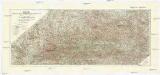
Šumava
1 : 200000 Šumava-oblast Pacovský, Jaroslav Klub českoslov. turistů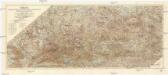
Šumava
1 : 200000 Šumava (pohoří : oblast) Klub českoslov. turistů
175. Passau, uit: Topographische Uebersichtskarte des Deutschen Reiches / herausgegeben v. d. Kartogr. Abt. d. Königl. Preuß. Landesaufnahme
1 : 200000 titelvariant: Topogr. Übersichtskarte des Deutschen Reiches; Annotatie: Titel boven bladen ook: Topogr. Übersichtskarte des Deutschen Reiches; Annotatie geografische gegevens: Op elk blad twee maatstokken: 10 Kilometer = 5,5 cm; 1 geogr. Meile = 3,6 cm; Legenda onder op elk blad Königlich Preußische Landesaufnahme. Kartographische Abtheilung [S.l : Königlich Preußische Landesaufnahme, Kartographische Abtheilung]
Fol. II
1 Karte : 43 x 55 cm Königliche Akademie der Wissenschaften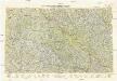
Neubertova generální automapa Republiky československé
1 : 200000 Klatovy (Česko : oblast) Soukup, Jan V. Neubert a synové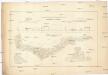
Allgemeiner Übersichtsplan der böhmischen Kohlenbahn
1 : 347000 Čechy (Česko)
Südwestliches Böhmen
1 : 220000 Jihočeský kraj (Česko) Wagner, Jan Eduard F. Kytka
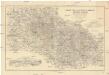
Regni Bohemiae circulus Prachinensis
1 : 211000 Prácheňsko (Česko) Müller, Johann Christoph editus curis Homannianorum Heredum