Maps of Buckinghamshire

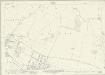
SU69 - OS 1:25,000 Provisional Series Map
1 : 25000 Topographic maps Ordnance Survey Ordnance Survey
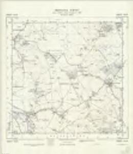
Oxfordshire XLVII.NW - OS Six-Inch Map
1 : 10560 Topographic maps Ordnance Survey Ordnance Survey
Oxfordshire XLVII.NW - OS Six-Inch Map
1 : 10560 Topographic maps Ordnance Survey Ordnance Survey
Oxfordshire XLVII.SW - OS Six-Inch Map
1 : 10560 Topographic maps Ordnance Survey Ordnance Survey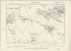
Oxfordshire XLVII.SW - OS Six-Inch Map
1 : 10560 Topographic maps Ordnance Survey Ordnance Survey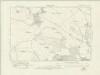
Oxfordshire L.NW - OS Six-Inch Map
1 : 10560 Topographic maps Ordnance Survey Ordnance Survey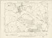
Oxfordshire L.NW - OS Six-Inch Map
1 : 10560 Topographic maps Ordnance Survey Ordnance Survey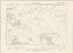
Oxfordshire XLVI.NE - OS Six-Inch Map
1 : 10560 Topographic maps Ordnance Survey Ordnance Survey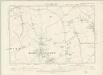
Oxfordshire XLVI.SE - OS Six-Inch Map
1 : 10560 Topographic maps Ordnance Survey Ordnance Survey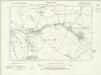
Berkshire XVI.NE - OS Six-Inch Map
1 : 10560 Topographic maps Ordnance Survey Ordnance Survey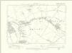
Berkshire XVI.NE - OS Six-Inch Map
1 : 10560 Topographic maps Ordnance Survey Ordnance Survey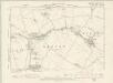
Oxfordshire XLIX.NE - OS Six-Inch Map
1 : 10560 Topographic maps Ordnance Survey Ordnance Survey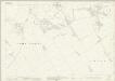
Oxfordshire XLVII.2 (includes: Adwell; Pyrton; South Weston; Stoke Talmage; Wheatfield) - 25 Inch Map
1 : 2500 Topographic maps Ordnance Survey Ordnance Survey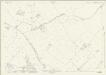
Oxfordshire XLVII.6 (includes: Lewknor; Pyrton; Shirburn; South Weston; Stoke Talmage) - 25 Inch Map
1 : 2500 Topographic maps Ordnance Survey Ordnance Survey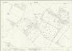
Oxfordshire XLVII.10 (includes: Pyrton; Shirburn; Watlington) - 25 Inch Map
1 : 2500 Topographic maps Ordnance Survey Ordnance Survey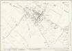
Oxfordshire XLVII.14 (includes: Britwell; Pyrton; Watlington) - 25 Inch Map
1 : 2500 Topographic maps Ordnance Survey Ordnance Survey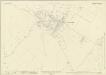
Oxfordshire XLVII.14 (includes: Britwell; Pyrton; Watlington) - 25 Inch Map
1 : 2500 Topographic maps Ordnance Survey Ordnance Survey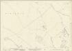
Oxfordshire L.2 (includes: Britwell; Swyncombe; Watlington) - 25 Inch Map
1 : 2500 Topographic maps Ordnance Survey Ordnance Survey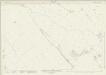
Oxfordshire XLVII.1 (includes: Chalgrove; Pyrton; Stoke Talmage) - 25 Inch Map
1 : 2500 Topographic maps Ordnance Survey Ordnance Survey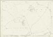
Oxfordshire XLVII.5 (includes: Chalgrove; Cuxham with Easington; Pyrton) - 25 Inch Map
1 : 2500 Topographic maps Ordnance Survey Ordnance Survey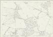
Oxfordshire L.6 (includes: Britwell; Swyncombe; Watlington) - 25 Inch Map
1 : 2500 Topographic maps Ordnance Survey Ordnance Survey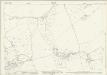
Oxfordshire XLVII.9 (includes: Brightwell Baldwin; Chalgrove; Cuxham with Easington; Pyrton; Watlington) - 25 Inch Map
1 : 2500 Topographic maps Ordnance Survey Ordnance Survey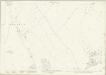
Oxfordshire XLVII.13 (includes: Brightwell Baldwin; Britwell; Cuxham with Easington; Watlington) - 25 Inch Map
1 : 2500 Topographic maps Ordnance Survey Ordnance Survey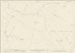
Oxfordshire XLVI.4 (includes: Chalgrove; Great Haseley; Pyrton) - 25 Inch Map
1 : 2500 Topographic maps Ordnance Survey Ordnance Survey
Oxfordshire L.1 (includes: Brightwell Baldwin; Britwell; Ewelme; Swyncombe) - 25 Inch Map
1 : 2500 Topographic maps Ordnance Survey Ordnance Survey
Oxfordshire L.5 (includes: Benson; Ewelme; Swyncombe) - 25 Inch Map
1 : 2500 Topographic maps Ordnance Survey Ordnance Survey
Oxfordshire XLVI.8 (includes: Chalgrove) - 25 Inch Map
1 : 2500 Topographic maps Ordnance Survey Ordnance Survey
Oxfordshire XLVI.12 (includes: Brightwell Baldwin; Chalgrove; Ewelme; Newington) - 25 Inch Map
1 : 2500 Topographic maps Ordnance Survey Ordnance Survey
Oxfordshire XLVI.16 (includes: Benson; Berrick Salome; Brightwell Baldwin; Ewelme; Newington) - 25 Inch Map
1 : 2500 Topographic maps Ordnance Survey Ordnance Survey