Maps of Sunderland

NZ34 - OS 1:25,000 Provisional Series Map
1 : 25000 Topographic maps Ordnance Survey Ordnance Survey
Durham XX - OS Six-Inch Map
1 : 10560 Topographic maps Ordnance Survey Ordnance Survey
Durham XX - OS Six-Inch Map
1 : 10560 Topographic maps Ordnance Survey Ordnance Survey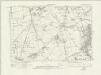
Durham XX.NE - OS Six-Inch Map
1 : 10560 Topographic maps Ordnance Survey Ordnance Survey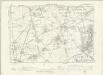
Durham XX.NE - OS Six-Inch Map
1 : 10560 Topographic maps Ordnance Survey Ordnance Survey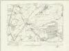
Durham XX.SE - OS Six-Inch Map
1 : 10560 Topographic maps Ordnance Survey Ordnance Survey
Durham XX.SE - OS Six-Inch Map
1 : 10560 Topographic maps Ordnance Survey Ordnance Survey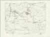
Durham XXVII.NE - OS Six-Inch Map
1 : 10560 Topographic maps Ordnance Survey Ordnance Survey
Durham XXVII.NE - OS Six-Inch Map
1 : 10560 Topographic maps Ordnance Survey Ordnance Survey
Durham XXVIII.NW - OS Six-Inch Map
1 : 10560 Topographic maps Ordnance Survey Ordnance Survey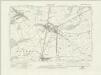
Durham XXI.SW - OS Six-Inch Map
1 : 10560 Topographic maps Ordnance Survey Ordnance Survey
Durham XXI.SW - OS Six-Inch Map
1 : 10560 Topographic maps Ordnance Survey Ordnance Survey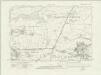
Durham XXI.NW - OS Six-Inch Map
1 : 10560 Topographic maps Ordnance Survey Ordnance Survey
Durham XXI.NW - OS Six-Inch Map
1 : 10560 Topographic maps Ordnance Survey Ordnance Survey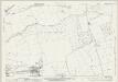
Durham XXI.1 (includes: Hetton; Houghton Le Spring; Seaton With Slingley; Warden Law) - 25 Inch Map
1 : 2500 Topographic maps Ordnance Survey Ordnance Survey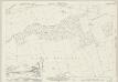
Durham XXI.1 (includes: Hetton; Houghton Le Spring; Seaton With Slingley; Warden Law) - 25 Inch Map
1 : 2500 Topographic maps Ordnance Survey Ordnance Survey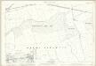
Durham XXI.1 (includes: Hetton; Houghton Le Spring; Seaton With Slingley; Warden Law) - 25 Inch Map
1 : 2500 Topographic maps Ordnance Survey Ordnance Survey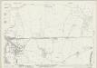
Durham XXI.5 (includes: East Murton; Hetton; Seaton With Slingley) - 25 Inch Map
1 : 2500 Topographic maps Ordnance Survey Ordnance Survey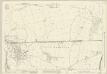
Durham XXI.5 (includes: East Murton; Hetton; Seaton With Slingley) - 25 Inch Map
1 : 2500 Topographic maps Ordnance Survey Ordnance Survey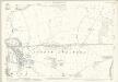
Durham XXI.5 (includes: East Murton; Hetton; Seaton With Slingley) - 25 Inch Map
1 : 2500 Topographic maps Ordnance Survey Ordnance Survey
Durham XXI.9 (includes: East Murton; Haswell; Hetton; Pittington) - 25 Inch Map
1 : 2500 Topographic maps Ordnance Survey Ordnance Survey
Durham XXI.9 (includes: East Murton; Haswell; Hetton; Pittington) - 25 Inch Map
1 : 2500 Topographic maps Ordnance Survey Ordnance Survey
Durham XXI.9 (includes: East Murton; Haswell; Hetton; Pittington) - 25 Inch Map
1 : 2500 Topographic maps Ordnance Survey Ordnance Survey
Durham XXI.13 (includes: Haswell; Pittington) - 25 Inch Map
1 : 2500 Topographic maps Ordnance Survey Ordnance Survey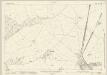
Durham XXI.13 (includes: Haswell; Pittington) - 25 Inch Map
1 : 2500 Topographic maps Ordnance Survey Ordnance Survey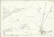
Durham XXI.13 (includes: Haswell; Pittington) - 25 Inch Map
1 : 2500 Topographic maps Ordnance Survey Ordnance Survey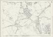
Durham XX.4 (includes: Hetton; Houghton Le Spring) - 25 Inch Map
1 : 2500 Topographic maps Ordnance Survey Ordnance Survey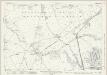
Durham XX.4 (includes: Hetton; Houghton Le Spring) - 25 Inch Map
1 : 2500 Topographic maps Ordnance Survey Ordnance Survey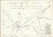
Durham XX.4 (includes: Hetton; Houghton Le Spring) - 25 Inch Map
1 : 2500 Topographic maps Ordnance Survey Ordnance Survey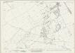
Durham XXVIII.1 (includes: Haswell; Shadforth) - 25 Inch Map
1 : 2500 Topographic maps Ordnance Survey Ordnance Survey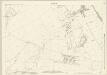
Durham XXVIII.1 (includes: Haswell; Shadforth) - 25 Inch Map
1 : 2500 Topographic maps Ordnance Survey Ordnance Survey