Maps of Perthshire and Kinross

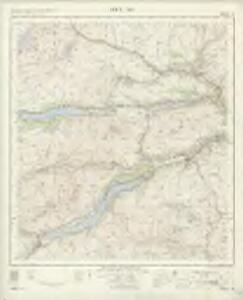
Loch Tay - OS One-Inch Map
1 : 63360 Topographic maps Ordnance Survey Ordnance Survey
Blair Atholl - OS One-Inch map
1 : 63360 Topographic maps Ordnance Survey Ordnance Survey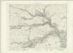
Blair Atholl - OS One-Inch map
1 : 63360 Topographic maps Ordnance Survey Ordnance Survey
Blair Atholl - OS One-Inch map
1 : 63360 Topographic maps Ordnance Survey Ordnance Survey
Crieff - OS One-Inch map
1 : 63360 Topographic maps Ordnance Survey Ordnance Survey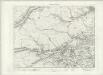
Crieff - OS One-Inch map
1 : 63360 Topographic maps Ordnance Survey Ordnance Survey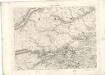
Crieff - OS One-Inch map
1 : 63360 Topographic maps Ordnance Survey Ordnance Survey
Dunkeld & Pitlochry (56) - OS One-Inch map
1 : 63360 Topographic maps Ordnance Survey Ordnance Survey
Dunkeld & Pitlochry (56) - OS One-Inch map
1 : 63360 Topographic maps Ordnance Survey Ordnance Survey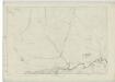
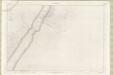
Perthshire, Sheet XLVI - OS 6 Inch map
1 : 10560 Topographic maps Ordnance Survey Ordnance Survey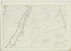
Perthshire, Sheet IX - OS 6 Inch map
1 : 10560 Topographic maps Ordnance Survey Ordnance Survey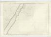
Inverness-shire (Mainland), Sheet CLV - OS 6 Inch map
1 : 10560 Topographic maps Ordnance Survey Ordnance Survey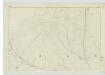
Perthshire, Sheet X - OS 6 Inch map
1 : 10560 Topographic maps Ordnance Survey Ordnance Survey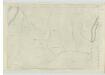
Perthshire, Sheet XVIII - OS 6 Inch map
1 : 10560 Topographic maps Ordnance Survey Ordnance Survey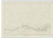
Perthshire, Sheet XLVII - OS 6 Inch map
1 : 10560 Topographic maps Ordnance Survey Ordnance Survey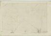
Perthshire, Sheet XXVII - OS 6 Inch map
1 : 10560 Topographic maps Ordnance Survey Ordnance Survey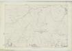
Perthshire, Sheet XXVIII - OS 6 Inch map
1 : 10560 Topographic maps Ordnance Survey Ordnance Survey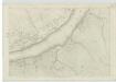
Perthshire, Sheet LXIX - OS 6 Inch map
1 : 10560 Topographic maps Ordnance Survey Ordnance Survey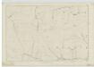
Perthshire, Sheet LXX - OS 6 Inch map
1 : 10560 Topographic maps Ordnance Survey Ordnance Survey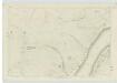
Perthshire, Sheet LVIII - OS 6 Inch map
1 : 10560 Topographic maps Ordnance Survey Ordnance Survey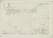
Perthshire, Sheet XXIX - OS 6 Inch map
1 : 10560 Topographic maps Ordnance Survey Ordnance Survey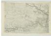
Perthshire, Sheet XXX - OS 6 Inch map
1 : 10560 Topographic maps Ordnance Survey Ordnance Survey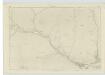
Perthshire, Sheet XX - OS 6 Inch map
1 : 10560 Topographic maps Ordnance Survey Ordnance Survey
Perthshire, Sheet XIX - OS 6 Inch map
1 : 10560 Topographic maps Ordnance Survey Ordnance Survey
Perthshire, Sheet XLIX - OS 6 Inch map
1 : 10560 Topographic maps Ordnance Survey Ordnance Survey
Perthshire, Sheet LXVIII - OS 6 Inch map
1 : 10560 Topographic maps Ordnance Survey Ordnance Survey
Perthshire, Sheet XII - OS 6 Inch map
1 : 10560 Topographic maps Ordnance Survey Ordnance Survey
Perthshire, Sheet LX - OS 6 Inch map
1 : 10560 Topographic maps Ordnance Survey Ordnance Survey
Perthshire, Sheet LVII - OS 6 Inch map
1 : 10560 Topographic maps Ordnance Survey Ordnance Survey