Maps of Lerwick

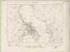
Central Mainland (Shetland Islands) (3) - OS One-Inch map
1 : 63360 Topographic maps Ordnance Survey Ordnance Survey
Central Mainland (Shetland Islands) (3) - OS One-Inch map
1 : 63360 Topographic maps Ordnance Survey Ordnance Survey
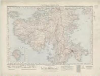
Part of the Maine Island of Shetland / H. Moll, sculp.
Collins, Greenvile, fl. 1669-1698 Moll, Herman, d. 1732.
Shetland, Sheet XLIV - OS 6 Inch map
1 : 10560 Topographic maps Ordnance Survey Ordnance Survey
Zetland Sheet XLIV & XLV - OS 6 Inch map
1 : 10560 Topographic maps Ordnance Survey Ordnance Survey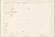
Zetland Sheet XLIX - OS 6 Inch map
1 : 10560 Topographic maps Ordnance Survey Ordnance Survey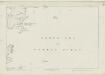
Shetland, Sheet XLIX - OS 6 Inch map
1 : 10560 Topographic maps Ordnance Survey Ordnance Survey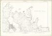
Zetland Sheet LIII & LIIIa - OS 6 Inch map
1 : 10560 Topographic maps Ordnance Survey Ordnance Survey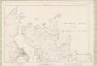
Zetland Sheet LIII & LIIIa - OS 6 Inch map
1 : 10560 Topographic maps Ordnance Survey Ordnance Survey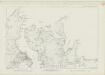
Shetland, Sheet LIII - OS 6 Inch map
1 : 10560 Topographic maps Ordnance Survey Ordnance Survey
Shetland, Sheet XLVIII - OS 6 Inch map
1 : 10560 Topographic maps Ordnance Survey Ordnance Survey
Zetland Sheet XLIII - OS 6 Inch map
1 : 10560 Topographic maps Ordnance Survey Ordnance Survey
Shetland, Sheet XLIII - OS 6 Inch map
1 : 10560 Topographic maps Ordnance Survey Ordnance Survey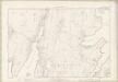
Zetland Sheet XLVIII - OS 6 Inch map
1 : 10560 Topographic maps Ordnance Survey Ordnance Survey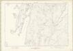
Zetland Sheet LII - OS 6 Inch map
1 : 10560 Topographic maps Ordnance Survey Ordnance Survey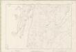
Zetland Sheet LII - OS 6 Inch map
1 : 10560 Topographic maps Ordnance Survey Ordnance Survey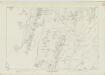
Shetland, Sheet LII - OS 6 Inch map
1 : 10560 Topographic maps Ordnance Survey Ordnance Survey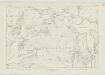
Shetland, Sheet XLVII - OS 6 Inch map
1 : 10560 Topographic maps Ordnance Survey Ordnance Survey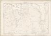
Zetland Sheet XLII - OS 6 Inch map
1 : 10560 Topographic maps Ordnance Survey Ordnance Survey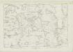
Shetland, Sheet XLII - OS 6 Inch map
1 : 10560 Topographic maps Ordnance Survey Ordnance Survey
Zetland Sheet XLVII - OS 6 Inch map
1 : 10560 Topographic maps Ordnance Survey Ordnance Survey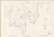
Zetland Sheet LI - OS 6 Inch map
1 : 10560 Topographic maps Ordnance Survey Ordnance Survey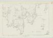
Shetland, Sheet LI - OS 6 Inch map
1 : 10560 Topographic maps Ordnance Survey Ordnance Survey
Shetland, Sheet XLVI - OS 6 Inch map
1 : 10560 Topographic maps Ordnance Survey Ordnance Survey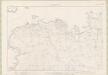
Zetland Sheet XLI - OS 6 Inch map
1 : 10560 Topographic maps Ordnance Survey Ordnance Survey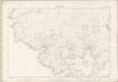
Zetland Sheet XLVI - OS 6 Inch map
1 : 10560 Topographic maps Ordnance Survey Ordnance Survey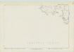
Shetland, Sheet L - OS 6 Inch map
1 : 10560 Topographic maps Ordnance Survey Ordnance Survey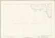
Zetland Sheet L - OS 6 Inch map
1 : 10560 Topographic maps Ordnance Survey Ordnance Survey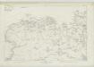
Shetland, Sheet XLI - OS 6 Inch map
1 : 10560 Topographic maps Ordnance Survey Ordnance Survey