Mapa catalogado
Wiltshire LXXII.13 (includes: Downton; Redlynch) - 25 Inch Map


Institución:nls
Título completo:Wiltshire LXXII.13 (includes: Downton; Redlynch) - 25 Inch Map
Año de ilustración:1876
Fecha de publicación:1881
Editorial:Ordnance Survey
Tamaño físico:20 x 30 cm
Escala del mapa:1:2 500
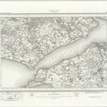
Southampton (Hills) - OS One-Inch Revised New Series
1893
Ordnance Survey
1:63k
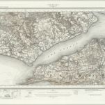
Southampton (Outline) - OS One-Inch Revised New Series
1893
Ordnance Survey
1:63k
Map of Hampshire, including the Isle of Wight, 5
1759
s.n.
Ringwood (Hills) - OS One-Inch Revised New Series
1902
Ordnance Survey
1:63k
Ringwood (Outline) - OS One-Inch Revised New Series
1894
Ordnance Survey
1:63k
Lymington (Outline) - OS One-Inch Revised New Series
1893
Ordnance Survey
1:63k
Lymington (Hills) - OS One-Inch Revised New Series
1893
Ordnance Survey
1:63k
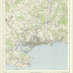
Bournemouth - OS One-Inch Map
1956
Ordnance Survey
1:63k
Map of Hampshire, including the Isle of Wight, 3
1759
s.n.
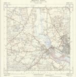
SU31 - OS 1:25,000 Provisional Series Map
1938
Ordnance Survey
1:25k