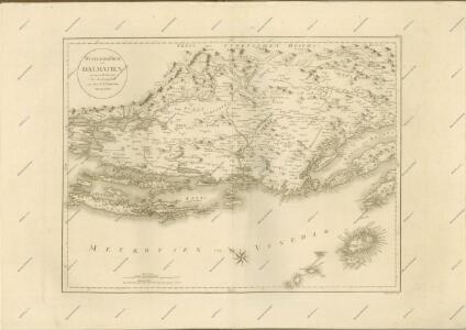
Maps of Dalmatia
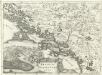
Regnum Dalmatiae
1 : 1200000 Mollova mapová sbírka Bruggen, Johann van der Brugge, Johannes van der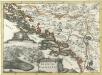
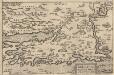
Regnum Dalmatiae
1 : 1200000 Mollova mapová sbírka Bruggen, Johann van der Brugge, Johannes van der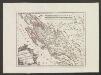
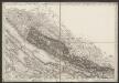
Der Noerdliche Theil Des Königreichs Dalmatien
1 : 1000000 Dalmatien
Dalmatien und Montenegro
Kroatien, Montenegro
Iadera, Sicum et Aenona Vulgo Zara, Sibenico et Nona cum Insulis adjacentibus. in Parte Dalmatiae Boreali. [Karte], in: Novus atlas absolutissimus, Bd. 9, S. 314.
1 Karte aus Atlas Janssonius Offizin
Iadera, Sicum et Aenona Vulgo Zara, Sibenico et Nona cum Insulis adiacentibus. in Parte Dalmatiae Boreali. [Karte], in: Het vijfde Deel Des Grooten Atlas : Vervatende De Water-Weereld, S. 234.
1 Karte aus Atlas Jansson, Jan Jansson, Jan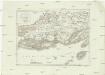
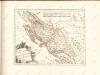
Westlicher Theil von Dalmatien
1 : 450000 Chorvatsko Santini, P. Engelman, J. W. F. A. Schraembl
Westlicher Theil von Dalmatien
1 : 445000 Chorvatsko Santini, P. Engelman, J. W. F. A. Schraembl
Adriatisches Meer, Küstenkarte
1 : 180000 Dugi Otok (Chorvatsko : ostrov) Oesterreicher, Tobias von Hydrographisches Amt der k. u. k. Kriegsmarine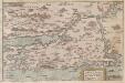
Zarae, et Sebenici Descriptio
Zadar (Region) Lazius, Wolfgang
[Generalkarte von Bosnien und der Hercegovina]
1 : 300000 Bosnien-Herzegowina Herzegowina
Střední Dalmacie
1 : 750000 Dalmácie střední (Chorvatsko) Machát, František c. a k. voj. zeměpisný ústav
Generalkarte von Zentraleuropa
Zarae, Et Sebenici Descriptio [Karte], in: Theatrum orbis terrarum, S. 357.
1 Karte aus Atlas Ortelius, Abraham Vrients, Jan Baptista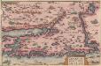
Zarae, Et Sebenici Descriptio [Karte], in: Theatrum orbis terrarum, S. 262.
1 Karte aus Atlas Ortelius, Abraham
Charte des nordwestlichen Theil von Dalmatien
Dalmácie (Chorvatsko) Verlage der Kunst und Industrie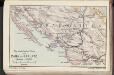
Die adriatische Küste von Zara bis Spalato
1 : 900000 Kroatien Adriaküste
Karte vom Liccaner Grenz Regiment
1 : 105000 Chorvatsko Kossovich, Mathias Kaiser, J.F.
Cpljet
1 : 200000 Bosanska Kostajnica (Bosna a Hercegovina) Kartografska radionica
Zarae, Et Sebenici Descriptio
Mollova mapová sbírka Lazius, Wolfgang
Dioecesis Iadrensis
1 : 1850000 Diözese Zadar
Dalmatien
1 : 80000 Dalmácie (Chorvatsko) Oesterreicher, T. Hydrographisches Amt der K. u. k. Kriegsmarine, Seekartendepot
Übersicht des Feldzuges 34/33 v. Chr.
1 : 200000 Südosteuropa Illyrien Feldzug Augustus
Sebenico und die Krkaseen
1 : 600000 Kroatien Krka-Gebiet Šibenik
Umgebungen von Knin
Kroatien Dalmatien Knin Umland
Adriatisches Meer, Küstenkarte
1 : 180000 Hvar (Chorvatsko : ostrov) Oesterreicher, Tobias von Hydrographisches Amt der k. u. k. Kriegs-Marine
Bis
1 : 200000 Vis (Chorvatsko : ostrov) Kartografska radionica