Maps of Guadalajara

Mapa geográfico del Señorio de Molina
1 Karte : Kupferdruck ; 35 x 37 cm López s.n.
Mapa de la provincia y obispado de Cuenca
1 Karte auf 2 Blatt : Kupferdruck ; 37 x 55 cm López s.n.
Castiliae novae pars orientalis
1 : 540000 Kastilie (Španělsko) Güssefeld, Franz L. López, Tomás apud Hommanianos Heredes

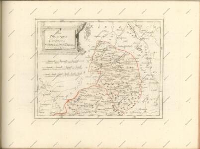
Charta geographica provinciam Soriam
1 Karte : Kupferdruck ; 43 x 57 cm López; Güssefeld Homanniani Haeredes ederunt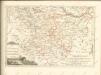
Mapa geográfico de la provincia de Soria, 2
2 Blätter : s.n.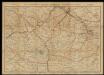
Mapa de carreteras para ciclistas y automóviles de Zaragoza y norte de Teruel / por E. Brossa
Brossa, Eduard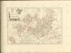

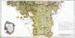
Episcopatus Tervelæ, et Albarrasin
1 Karte : Kupferdruck ; 36 x 47 cm Valck; Schenk apud G. Valk et P. Schenk
Mapa de la provincia de Guadalaxara
1 Karte : Kupferstich ; 37 x 38 cm López s.n.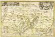
Tarraconensis episcopatus
1 Karte : Kupferdruck ; 32 x 50 cm Valck; Schenk apud G. Valk et P. Schenk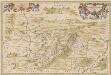
Tarraconensis Episcopatus. [Karte], in: Novus atlas absolutissimus, Bd. 6, S. 55.
1 Karte aus Atlas Janssonius Offizin
Episcopatus Teruelae, Et Albarrasin. [Karte], in: Novus atlas absolutissimus, Bd. 6, S. 61.
1 Karte aus Atlas Janssonius Offizin
EPISCOPATUS | TERVELENSIS | et | ALBARACINENSIS
Auct. Joanne Baptista Labanna [Amsterdam : Joan Blaeu]
EPISCOPATUS | TURIASSONENSIS | Vulgo | TARRAÇONA
Auctore Joanne Baptista Labanna. [Amsterdam : Joan Blaeu]
Bez titulu: okolí Valencie


[Carte d'Espagne et de Portugal en neuf feuilles, 5]
1 Blatt : 31 x 41 cm P.G. Chanlaire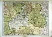
Espagne et Portugal, 5
1 Blatt : 31 x 42 cm Mentelle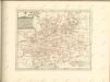

Castiliæ novæ pars occidentalis provincias Madrit, Toledo et Mancha comprehendens
1 Karte : Kupferdruck ; 48 x 46 cm Güssefeld; López apud Homannianos Heredes
Castiliæ novæ pars orientalis provincias Cuenca et Guadalaxara comprehendens
1 Karte : Kupferdruck ; 51 x 43 cm Güssefeld; López apud Homannianos Heredes
Regnorum Castellæ veteris Legionis et Gallæciæ principatuumque Biscaiæ et Asturiarum accuratissima descriptio, 2
1 Blatt : 48 x 41 cm Visscher
Castilla la Nueva con las nuevas divisiones
1 Mapa. Atlas Nacional de España Dufour, A.H. 0
Neueste Generalkarte von Portugal und Spanien, 2
1 Blatt : 71 x 50 cm Schrämbl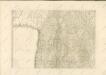

Castilla la Vieja con las nuevas divisiones
1 Mapa. Atlas Nacional de España Dufour, A.H. 0