Maps of Czech Republic
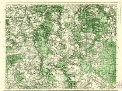
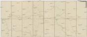
III. vojenské mapování 4253/3
1 : 25000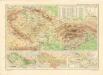
Československo v mapách

Halič
Halič (Polsko a Ukrajina)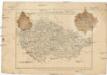
General-Karte von Boehmen Maehren und oesterreichischer Antheil von Schlesien
Česko Schlieben Ausfeld, Johann Carl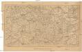
Železniční mapa zemí koruny české
1 : 1000000 Česko nákladem Al. Hynka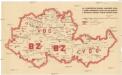
[Protektorát Čechy a Morava - výdej a odběr pohonných látek]
Protektorát Čechy a Morava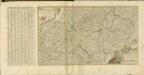
Mapa volebních okresů zemí Koruny české
Česko nákladem Tiskového a vydavatelského družstva Samostatnosti
Bohmen, Mahren, Schlesien.
1 : 1400000 Radefeld, Carl Christian Franz, 1788-1874
Cukrovárny v Čechách na Moravě a v Slezsku
Česko Čech, Karel Otakar Karel Ot. Čech
Cukrovárny v Čechách na Moravě a v Slezsku
Česko Čech, Karel Otakar Taafe, Ludvík Karel Ot. Čech
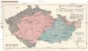
Sprachenkarte der Tschechoslovakien Republik.
Česko Sobota, Emil Hocke, Jan Deutschpolitischen Arbeitsstelle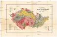
Přehledná mapa geologická zemí Koruny české
Česko Woldřich, Jan Nepomuk Frant. Bačkovský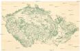
Waldkarte der Sudetenländer
1 : 750000 Sudety (Česko) Heller, Johann Geographisches Institut der Deutschen Universität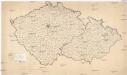
[Waldkarte der Sudetenländer]
1 : 750000 Sudety (Česko) Heller, Johann Geographisches Institut der Deutschen Universität
Galizien 1:750 000
1 : 750000 Halič (Polsko a Ukrajina) Artaria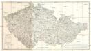
Oro Hydro Graphische General Charte vom Boehmen Maehren und Oestr. Schlesien
1 : 500000 Česko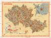
Carte économique de la Boheme et de la Moravie
Morava (Česko) V. Neubert & Sons Press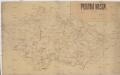
Poutní místa
Česko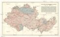
Přehledná úpatnicová mapa 1:1,000.000
1 : 1000000 Protektorát Čechy a Morava KČT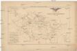
Přehled sokolských jednot českoslovanských v roce 1886
Česko Scheiner, Josef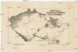
Carte de la germanisation des pays tchéques
1 : 1700000 Česko Kapras, Jan Hocke, Jan Service cartographique de l'Armée Tchécoslovaque
[Slepá mapa Česka]
1 : 752000 Česko
Čechy a země Moravskoslezská

Železniční mapa Království českého
České království
Die Porzellanindustrie in der Č.S.R
1 : 750000 Česko Schuster, Ad. Ad. Schuster
Montanistische Geschäftskarte von Böhmen, Mähren und Öster. Schlesien
1 : 650000 Česko Schmidt, Johann Ferdinand
Montanistische Geschäftskarte von Böhmen, Mähren und Öster. Schlesien
1 : 660000 Česko Schmidt, Johann Friedrich Julius
Montanistische Geschäftskarte von Böhmen, Mähren und Öster. Schlesien
1 : 650000 Česko Schmidt, Johann Ferdinand Taafe, Ludvík