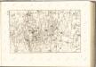
Maps of Tatra Mountains
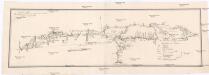
Strecke
Krakov (Polsko) K. k. Österreichische Staatsbahnen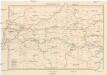
Galizien, Westlicher Theil
1 : 700000 Halič (Polsko a Ukrajina) Karl Fr. Pfau
Die im Stadtbuch von Zipser Neudorf genannten Orte
Zips, Spišská Nová Ves, Stadtbuch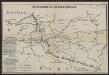
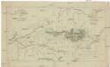
Übersichtskarte des Kampfgeländes
1 : 650000 Polen Tarnów Weltkrieg <1914-1918> Verl. Gerhard Stalling, Oldenburg
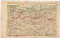
Generalkarte von Zentraleuropa
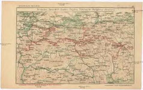
Projectirte Strasse von Billiz bis Lemberg
1 : 560000 Bielsko-Biała (Polsko) Gross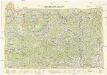
Neubertova generální automapa Republiky československé
1 : 200000 Košice (Slovensko : oblast) Soukup, Jan V. Neubert a synové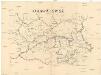
Orawa i Spisz
Orava (Polsko a Slovensko)
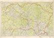
Übersichtskarte von Mitteleuropa 1:300 000
1 : 300000 Levoča-oblast (Slovensko) Reichsamt für Landesaufnahme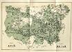
Stolice Spiš. Stolice Šaryš
Šariš, Komitat Zips, ethnische Gruppe
Comitat Sáros
1 : 290000 Šariš (Slovensko : oblast)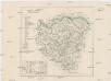
Comitat Sáros
1 : 280000 Šariš-oblast (Slovensko)
Krakau 107, uit: Special-Karte von Mittel-Europa / nach amtlichen Quellen bearbeitet von W. Liebenow
1 : 300000 titelvariant: W. Liebenow's Mittel-Europa; Annotatie: Titel boven de bladen: W. Liebenow's Mittel-Europa Johannes Wilhelm Liebenow 1822-1897 Frankfurt a. M. : Ludwig Ravenstein
[Rechterblad], uit: Podrobná mapa Vysokých Tater
1 : 25000 Annotatie: Opname 1896/97, gedeeltelijk herzien 1931; Annotatie geografische gegevens: Inzet: Pérehled oblasti Tater. - 1:200.000 [Praag : Vojenský Zeméepisný Ústav]
Sanok 108, uit: Special-Karte von Mittel-Europa / nach amtlichen Quellen bearbeitet von W. Liebenow
1 : 300000 titelvariant: W. Liebenow's Mittel-Europa; Annotatie: Titel boven de bladen: W. Liebenow's Mittel-Europa Johannes Wilhelm Liebenow 1822-1897 Frankfurt a. M. : Ludwig Ravenstein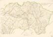
Bez titulu: mapy slovenských krajů
Kraj Košický a Prešovský

Generalkarte von Zentraleuropa
General-Karte des Königreiches Galizien und des Herzogthumes Bukovina
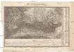
Die Central-Karpaten
1 : 200000 Karpaty Sydow, A. von Wolff

Terrae sev Comitatvs Scepvsiensis Tabvla
1 : 190000 Mollova mapová sbírka Kray de Rokus, Paul Puschner, Johann Georg Bel, Matej

Stolice Orava a Liptov
Komitat Arva, Komitat Liptau, ethnische Gruppe
C. Scepusiensis
Slowakei Komitat Zips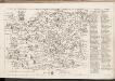
C. Sarosiensis
Slowakei Šariš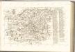
Mappa physico-geographica Carpatorum principalium e quibus Wagus et Dunajetz origines trahunt
1 : 190000 Tatry (Polsko a Slovensko) Bojtár, St.