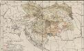
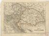
Maps of Carpathian Mountains
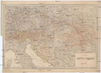
Karta Avstro-Vengrii
1 : 520000 Rakousko-Uhersko Il'jin, A.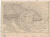
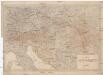
Kaiserthum Oesterreich
1 : 2500000 Rakousko-Uhersko Gräf, Carl Geographisches Institut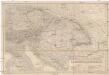
Kaiserthum Oesterreich
1 : 2500000 Rakousko-Uhersko Gräf, Carl Geographisches Institut
Kaiserthum Oesterreich
1 : 2500000 Evropa jihovýchodní Gräf, C. Geographisches Institut
Kaiserthum Oesterreich
1 : 2500000 Evropa jihovýchodní Gräf, C. Geographisches Institut
Artaria's Eisenbahn- u. Postkarte von Oesterreich-Ungarn
1 : 1500000 Budapešť (Maďarsko) Artaria
Strassen- und Eisenbahnkarte des oesterreichischen Kaiserthumes
1 : 864000 Rakousko (1804-1867) Schaller, Georg k.k. militärisch-geographisches Institut
Austria.
1 : 5000000 Finley, Anthony
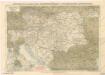
Mapa Rakousko-Uherského mocnářství a pohraničních států
1 : 4000000 Rakousko-Uhersko Rothaug, Jan Jiří Bečka, Karel Kartogr. ústav G. Freytaga & Berndta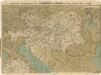
Prochaska ́s Neue Eisenbahnkarte von Österreich-Ungarn für 1898

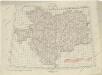
Karte der politischen Justiz- und Militär- Verwaltungsbezirke im Kaiserthume Oesterreich
Evropa jihovýchodní Schnabel, Jiří Norbert Machek, A.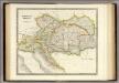
Austrian Empire.
1 : 2050000 Teesdale, Henry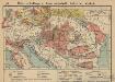
Österreich-Ungarn. Landwirtschaft und Fischerei
1 : 9000000 Österreich-Ungarn Landwirtschaft, Fischerei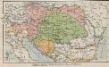
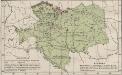
Österreich-Ungarn. Staaten
1 : 9000000 Österreich-Ungarn Verwaltungsgliederung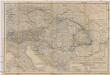
Oesterreichisch-ungarische Monarchie
1 : 2500000 Rakousko-Uhersko Geographisches Institut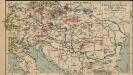
Österreich-Ungarn. Industrie und Verkehrswege
1 : 9000000 Österreich-Ungarn Industrie, Verkehrsnetz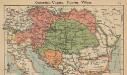
Österreich-Ungarn. Staaten
1 : 9000000 Österreich-Ungarn Politische Geografie
Storchova nejnovější politická a železniční cestovní mapa Rakousko – Uherska

Österreich
Neuer Handatlas über alle Theile der Erde Kiepert, Heinrich Verlag von Dietrich Reimer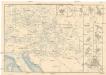
Eisenbahn-Routen-Karte für Österreich-Ungarn
Bratislava (Slovensko) Ritter, J. R. v. Waldheim
Eisenbahn-Routen-Karte für Österreich-Ungarn
Rakousko-Uhersko Ritter, J. R. v. Waldheim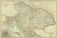
Composite: Austro-Hungarian Monarchy.
1 : 1642000 Johnston, W. & A.K.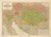
Šolcova nejnovější politická a železniční cestovní mapa Rakousko – Uherska
Eisenbahnkarte der österreichisch-ungarischen Monarchie
Übersichtblatt der Spezialkarte 1:75 000
Mapa císařství rakouského
Österreich-Ungarn. Industrie, Bergbau
1 : 9000000 Österreich-Ungarn Industrie, Bergbau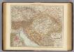
Austria-Hungary.
1 : 3000000 Andree, Richard; Times (London, England)
[Historisch-geographischer Atlas zu den allgemeinen Geschichtswerken von C. v. Rotteck, Pölitz u. Becker] : Oestreich zur Uebersicht der Hauptbegebenheiten dieses Staates
von Julius Loewenberg Lithographie von B. Herder in Freiburg im Breisgau [Freiburg im Breisgau] : [Herder]