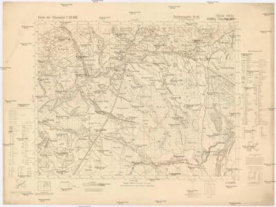
Maps of Jabłonka
Chyżne NO
1 : 25000 Polsko Reichsamt für Landesaufnahme
[Gradkartenblatt]
1 : 25000 Orava (Polsko a Slovensko) Vojenský zeměpisný ústav
III. vojenské mapování 4263
1 : 75000
Turdossin
1 : 75000 Tvrdošin, Umland
Turdossin an der Arva.
from Spezialkarte der osterreichisch-ungarischen Monarchie.
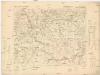
Borsod vármégye térképe
1 : 375000 Kogutowicz, Manó Magyar Földrajzi Intézet
Tvrdošín
1 : 75000 Slovensko Kartografické odd. při Min. Nár. Obrany
Makow und Podvilk.
from Spezialkarte der osterreichisch-ungarischen Monarchie.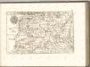
C. Arvensis
Slowakei Polen Komitat Arva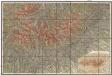
Podrobná mapa Vysokých Tater
1 : 25000 Vysoké Tatry, pohoří-oblast (Polsko a Slovensko) Čs. voj. zeměpisný ústav

Stolice Orava a Liptov
Komitat Arva, Komitat Liptau, ethnische Gruppe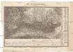
Die Central-Karpaten
1 : 200000 Karpaty Sydow, A. von Wolff
Krakau 107, uit: Special-Karte von Mittel-Europa / nach amtlichen Quellen bearbeitet von W. Liebenow
1 : 300000 titelvariant: W. Liebenow's Mittel-Europa; Annotatie: Titel boven de bladen: W. Liebenow's Mittel-Europa Johannes Wilhelm Liebenow 1822-1897 Frankfurt a. M. : Ludwig Ravenstein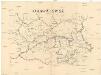
Orawa i Spisz
Orava (Polsko a Slovensko)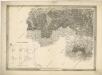
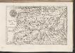
General-Karte des Königreiches Galizien und des Herzogthumes Bukovina

[Rechterblad], uit: Podrobná mapa Vysokých Tater
1 : 25000 Annotatie: Opname 1896/97, gedeeltelijk herzien 1931; Annotatie geografische gegevens: Inzet: Pérehled oblasti Tater. - 1:200.000 [Praag : Vojenský Zeméepisný Ústav]
Kraj Žilinský

Generalkarte von Zentraleuropa
Bez titulu: mapy slovenských krajů

Kraj žilinský
Neubertova generální automapa Republiky československé
1 : 200000 Košice (Slovensko : oblast) Soukup, Jan V. Neubert a synové
Karte der Kaiser Ferdinands-Nordbahn
Brno-oblast (Česko) R. v. Waldheim
Die im Stadtbuch von Zipser Neudorf genannten Orte
Zips, Spišská Nová Ves, Stadtbuch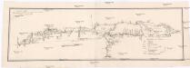
Projectirte Strasse von Billiz bis Lemberg
1 : 560000 Bielsko-Biała (Polsko) Gross
Stredoslovenský kraj
II. vojenské mapování 10
1 : 144000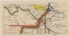
Sbírka map a diagramů použitých na mírových konferencích v Paříži v letech 1919 - 1920

West Galizien
Bochnia (Polsko) Müller, Karl Metzburg, Georg Ignaz von im Verlage des Kunst und Industrie Comptoirs