Maps of Czech Republic

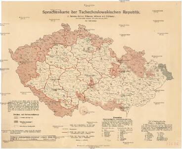
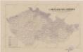
Sprachenkarte der Tschechoslovakien Republik.
Česko Sobota, Emil Hocke, Jan Deutschpolitischen Arbeitsstelle
Mapa volebních okresů zemí Koruny české
Česko nákladem Tiskového a vydavatelského družstva Samostatnosti
Přehledná mapa geologická zemí Koruny české
Česko Woldřich, Jan Nepomuk Frant. Bačkovský
Montanistische Geschäftskarte von Böhmen, Mähren und Öster. Schlesien
1 : 650000 Česko Schmidt, Johann Ferdinand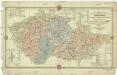
Montanistische Geschäftskarte von Böhmen, Mähren und Öster. Schlesien
1 : 660000 Česko Schmidt, Johann Friedrich Julius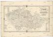
Montanistische Geschäftskarte von Böhmen, Mähren und Öster. Schlesien
1 : 650000 Česko Schmidt, Johann Ferdinand Taafe, Ludvík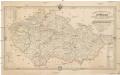
Montanistische Geschäftskarte von Böhmen, Mähren und Öster. Schlesien
Česko Schmidt, Johann Ferdinand Taafe, Ludvík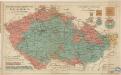
Das Deutsche Sprachgebiet in den Sudetenländern
Sbírka map a diagramů použitých na mírových konferencích v Paříži v letech 1919 - 1920

Cukrovárny v Čechách na Moravě a v Slezsku
Česko Čech, Karel Otakar Karel Ot. Čech
Cukrovárny v Čechách na Moravě a v Slezsku
Česko Čech, Karel Otakar Taafe, Ludvík Karel Ot. Čech
Dr. A. Oberschall's Sprachenkarte der Tschechoslowakischen Republik.
Česko Oberschall, Albin Hocke, Jan Deutschpolitischen Arbeitsstelle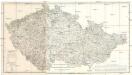
Oro Hydro Graphische General Charte vom Boehmen Maehren und Oestr. Schlesien
1 : 500000 Česko
Čechy, Morava a Slezsko
Morava (Česko) Studnička, Alois Karel Janský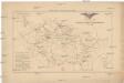
Přehled sokolských jednot českoslovanských v roce 1886
Česko Scheiner, Josef
[Slepá mapa Česka]
1 : 752000 Česko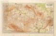
Grossdeutsches Reich Sudetenländer

Specielle Telegrafen- und Eisenbahnkarte von Böhmen
1 : 421000 Čechy (Česko) Hollmann, Jos. Jos. Hollmann
Specielle Telegrafen- und Eisenbahnkarte von Böhmen
Čechy (Česko) Hollmann, Jos. Taafe, Ludvík Friedrich Ehrlich
Soubor němých map pro střední školy
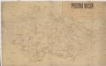
Poutní místa
Česko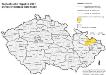
Tschechische Republik 2001. Schlesier (slezská národnost)
Tschechische Republik ethnische Gruppe, Schlesier Hofinger, Veronika
Protektorat Böhmen-Mähren
1 : 500000 Praha (Česko) Edvard Fastr
[Protektorát Čechy a Morava]
1 : 400000 Protektorát Čechy a Morava Machát, František
Čechy a země Moravskoslezská
Waldkarte der Sudetenländer
1 : 750000 Sudety (Česko) Heller, Johann Geographisches Institut der Deutschen Universität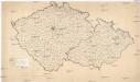
[Waldkarte der Sudetenländer]
1 : 750000 Sudety (Česko) Heller, Johann Geographisches Institut der Deutschen Universität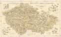
Kulturní mapa země České a Moravskoslezské
1 : 530000 Brno (Česko) Lauda, Ladislav Šolc a Šimáček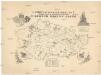
Ústřední matice školské mapa škol a místních odborů v zemích Koruny české
1 : 525000 Česko Šlechta, Jan Vilím, J.