Maps of Krems in Kärnten
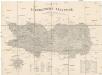
Umgebungen von Ober-Vellach, Spittal und Gmünd
Ober Vellach (Rakousko) David, Johann
Gmund und Spittal.
from Spezialkarte der osterreichisch-ungarischen Monarchie.
Steinfeld
1 : 25000 Kartographisches Institut
Oberkolbnitz
1 : 25000 Kartographisches Institut
Paternion
1 : 25000 Paternion (Rakousko) Kartographisches Institut
Afritz
1 : 25000 Hauptvermessungsabteilung XIV
Latschur
1 : 25000 Kartographisches Institut
Stockenboi
1 : 25000 Kartographisches Institut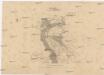
Croquis
1 : 20000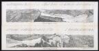
Panorama vom Sonnblick 3090 m in die Rauris
Siegl, Julius Ritter von
Obervellach
1 : 25000 Ober Vellach (Rakousko) Hauptvermessungsabteilung XIV
Greifenburg
1 : 25000 Kartographisches Institut
Hofgaštajn
1 : 200000 Hofgastein (Rakousko) Kartografska radionica
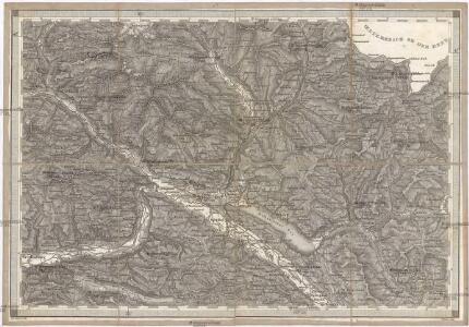
Moll Thal.
from Spezialkarte der osterreichisch-ungarischen Monarchie.
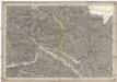
St. Michael.
from Spezialkarte der osterreichisch-ungarischen Monarchie.
Bleiberg und Tarvis.
from Spezialkarte der osterreichisch-ungarischen Monarchie.
Weiszbriach
1 : 25000 Kartographisches Institut
Arriach
1 : 25000 Kartographisches Institut
Kirchbach
1 : 25000 Kartographisches Institut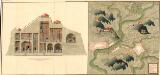
Plan der Bergwerg, Stain, und Schwamburg
Mollova mapová sbírka Geyer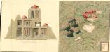
Plan der Bergwergs Schwarz Rappen, in der Gosniz
Mollova mapová sbírka Geyer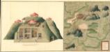
Plan deren Gebirgen Sent-Kopf, und Wurtzkopf
Mollova mapová sbírka Geyer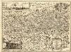
Novissima Carinthiae Tabula
1 : 260000 Mollova mapová sbírka Zauchenberg, Johann Baptist Zeuchenberg, Johann Baptist
Ducatus Carinthiae Tabula
1 : 740000 Mollova mapová sbírka Engelbrecht, Martin Engelbrecht, Martin
Ducatus Carinthiae Tabula
1 : 740000 Mollova mapová sbírka Engelbrecht, Martin Engelbrecht, Martin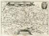
Ertzhertzogthum Kärnten
1 : 600000 Mollova mapová sbírka Valvasor, Janez Vajkard Endter, Wolfgang Moritz
Carinthiae Ducatvs Hertzogthum Cärnten
1 : 560000 Mollova mapová sbírka Merian, Matthaeus Merian, Matthäus
Oberkaernten oder der Villacher Kreis
1 : 250000 Korutansko (Rakousko) Kindermann, Joseph Karl Junker, Christoph Franz Xaver Miller
Oberkaernten oder der Villacher Kreis
1 : 250000 Korutansko (Rakousko) Kindermann, Joseph Karl Junker, Christoph Franz Xaver Miller